I Mapped That!
Creative projection mapping without an intimidating setup.
A planned easy-to-use projection mapping application for homes, architecture, objects, products, sculptures, signs and displays. Create, align and play content using one consistent project workspace.
We are designing Offline Mapping and Instant Mapping around the same underlying project so creative work can move between preparation and live installation.
I Mapped That! is a future software offering. Features, compatibility, pricing, release date and platform availability remain subject to product development and verification.
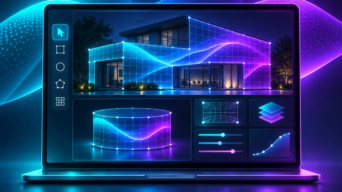
Plan offline. Align live. Keep creating.
Offline Mapping
Start with a reference photo taken near the intended fixed projector-lens position. Draw and edit mapping surfaces on that reference image without needing the projector running or an internet connection.
- Capture a reference. Photograph the house, object, sculpture or display from the practical projection viewpoint.
- Design and preview. Build mapping surfaces and content locally before installation.
- Verify alignment. Finish with projector-position calibration at the site.
Instant Mapping
Use an available live image feed to help align projection surfaces and see results while working at the installation.
- Capture live. Work with a compatible camera or live capture arrangement.
- Assist alignment. Review and adjust mapping geometry to the physical surface.
- Preview immediately. Test the mapped result and make changes while the projector is active.
Design without fighting the software.
Clear first steps
Introduce only the controls needed for the task at hand, with more advanced options available when required.
Surface-based editing
Plan surfaces on the actual subject rather than assuming every installation is a house or flat architectural wall.
Project continuity
Carry the same creative work from photo-based preparation through on-site mapping and playback.
The above describes product design objectives. It does not certify current commercial features or a completed release.
Projection mapping for whatever you imagine.
Homes & seasonal displays
Plan holiday shows, garage projections, backyard events and homeowner experiences.
Architecture & facades
Map building details, retail storefronts, stage features and commercial installations.
Products & objects
Work on displays, sculptures, models, signs and other physical shapes with projector-specific positioning.
Software first. Integrated options later.
As the software develops, Projection Mapping Supply plans two turnkey projection families that combine a projector, enclosure, software, mobile controls and monitoring:
I Mapped It AIR
A fan-cooled complete projection mapping system for suitable environments, with projector/enclosure sizing and monitoring verified before offering.
I Mapped It CLIMATE
A climate-controlled complete system intended for more demanding locations; coastal/salt-air and high-humidity conditions route to appropriate environmental engineering review.
Both systems are upcoming, not currently ready-to-ship. Product names remain subject to trademark clearance and final technical validation.
I Mapped That! FAQ
Is I Mapped That! available for purchase today?
No. It is in development, with a target introduction in Q2 2027. That date is an estimate, not a confirmed release commitment.
Will I need an internet connection to prepare a show?
The planned Offline Mapping mode is designed for local preparation using a reference photo without needing an active projector or internet connection. Final support will depend on release testing.
Can I map products and sculptures instead of houses?
Yes, general-purpose object mapping is an approved design goal. Final supported projector, camera and media combinations will be published after validation.
Can I switch between Offline and Instant Mapping?
That is a core intended workflow: both modes share one project and engine so work can continue rather than being recreated. Implementation and compatibility are still in development.
Does this include an enclosure or projector?
The software is a separate planned product. I Mapped It AIR and I Mapped It CLIMATE are separate planned turnkey systems that would bundle projector, enclosure, software and controls subject to final specification.
Keep your project moving with today’s equipment.
Explore currently offered projection enclosures, films, projector and lens options, control equipment and accessories while software development continues.
No public early-access or sales intake is currently active. Software release updates will be announced after schedules and support details are confirmed.